Marine national parks and sanctuaries
Marine national parks and marine sanctuaries protect representative areas of Victoria’s unique and diverse marine environments, now and for the future.
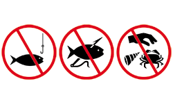
All forms of commercial and recreational fishing are prohibited in these areas.
This means you can’t:
- fish from the shore or a boat
- dive to spear or collect fish or shellfish
- collect bait
- set traps and nets
Heavy penalties apply for fishing within marine national parks and marine sanctuaries.
It is your responsibility to know what restrictions, if any, apply to the area where you intend to fish or collect shellfish or crustaceans.
The Recreational Fishing Guide App has a “Can I fish here?” function that uses a smartphone’s internal GPS to allow users to determine whether they are approaching or within a marine park or sanctuary.
Boundary Markers
 | Shoreline boundary markers are located on land at the edge of the park and point inwards to the protected area. |
 | Inwater special markers are located at the sea boundary of the protected area. |
| Marine national parks and sanctuaries (click on name to go to Parks Victoria webpage) | Map (click on images to enlarge) |
|---|---|
| Discovery Bay Marine National Park | 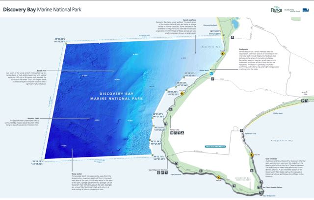 |
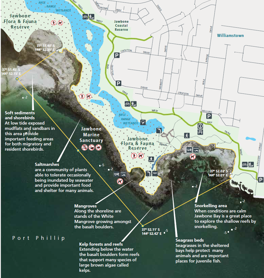
| Merri Marine Sanctuary | 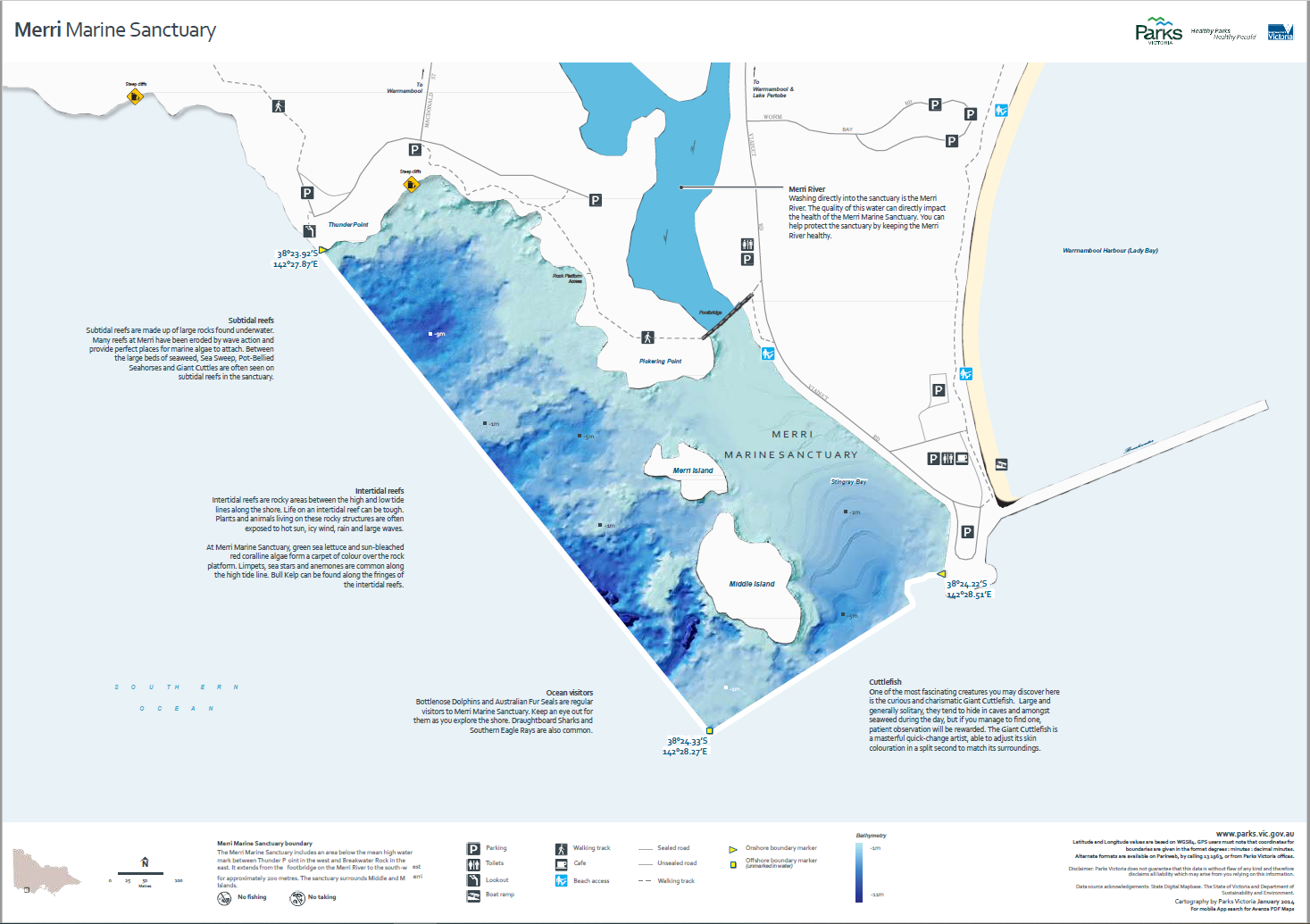
|
| The Arches Marine Sanctuary | 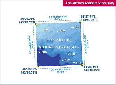 |
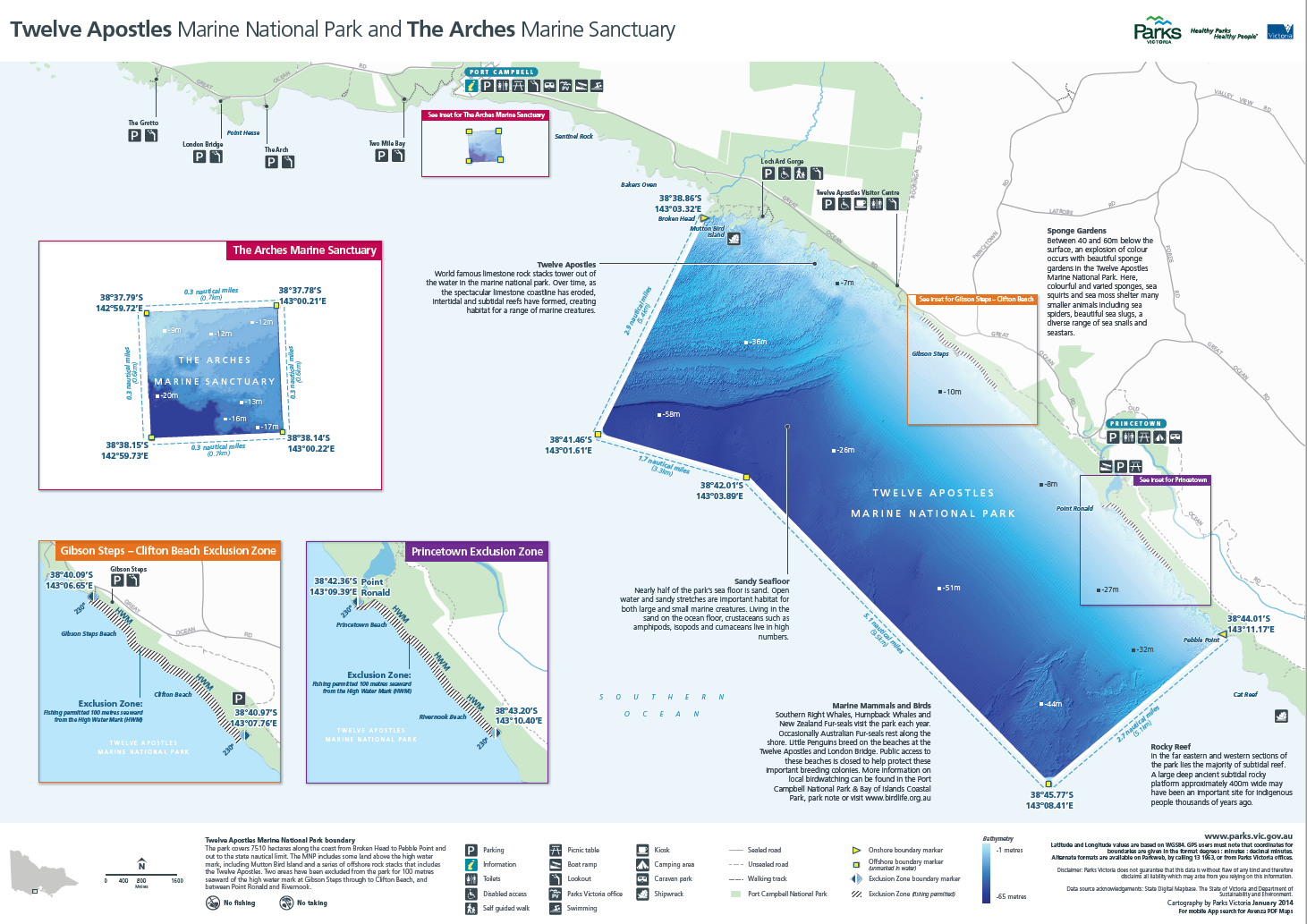
| |
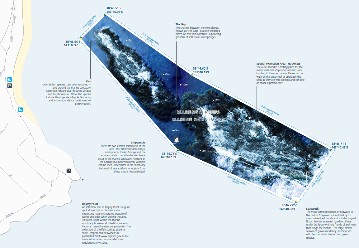
| |
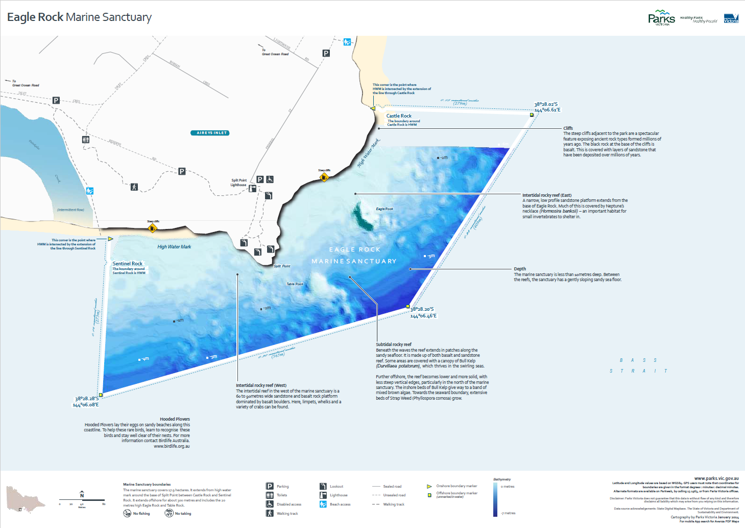
| |
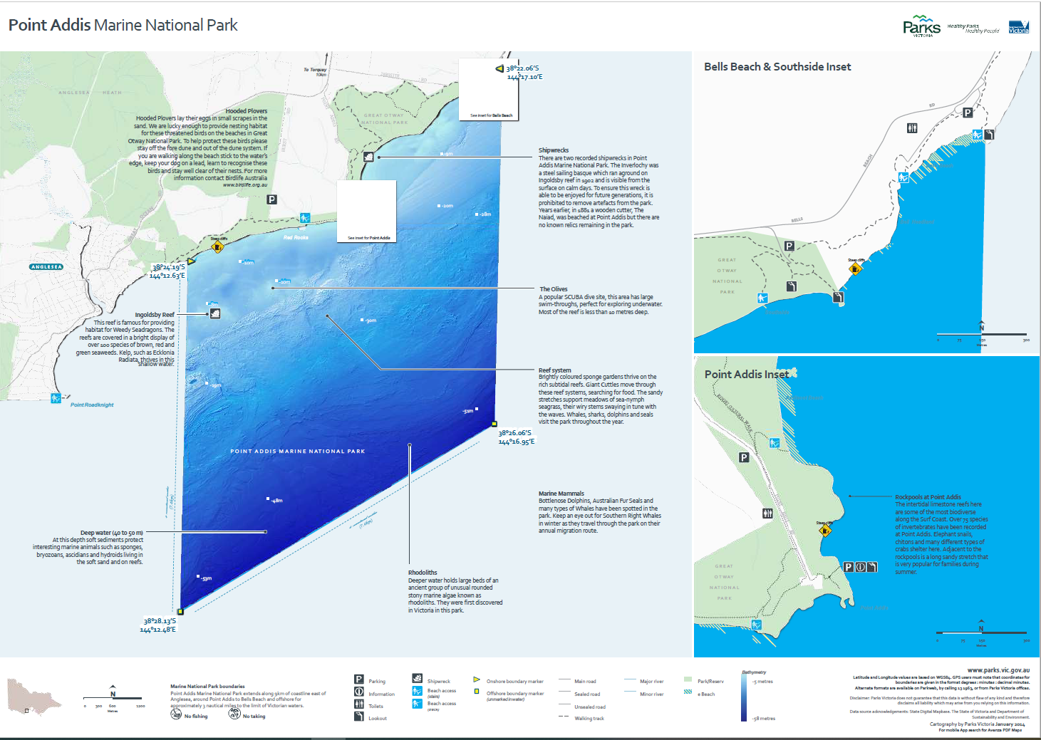
| |
| Point Danger Marine Sanctuary | 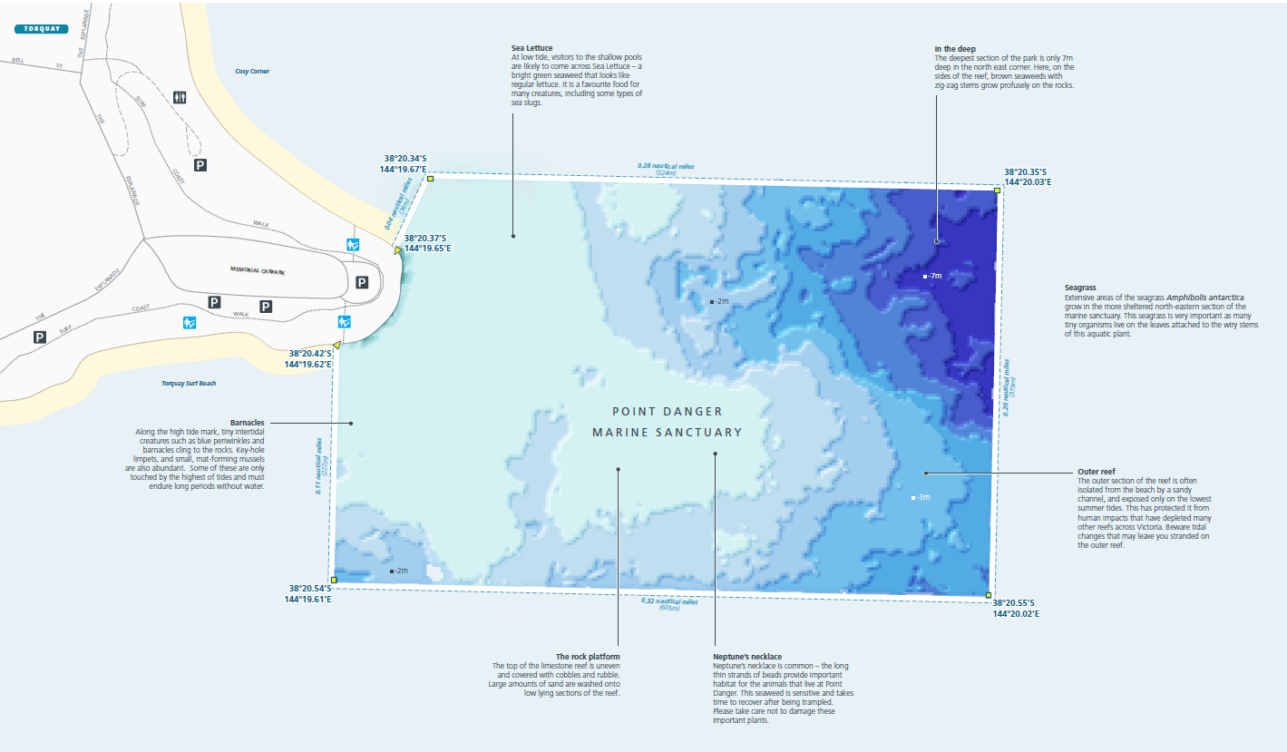 |
| Barwon Bluff Marine Sanctuary | 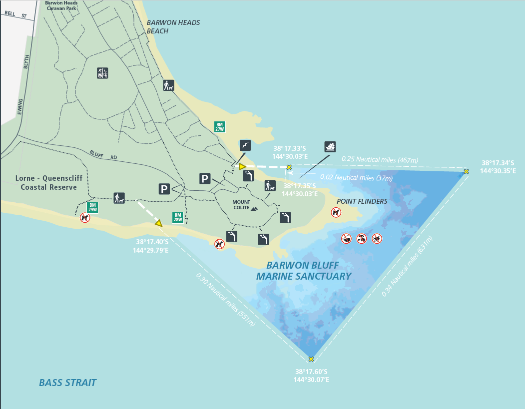 |
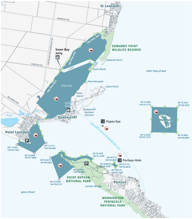
| |
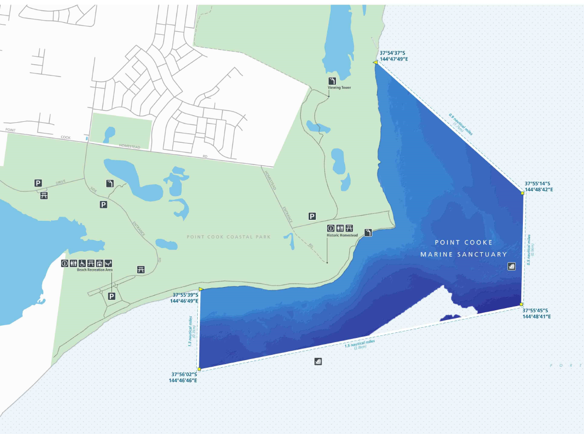
| Point Cooke Marine Sanctuary | |
| Ricketts Point Marine Sanctuary | 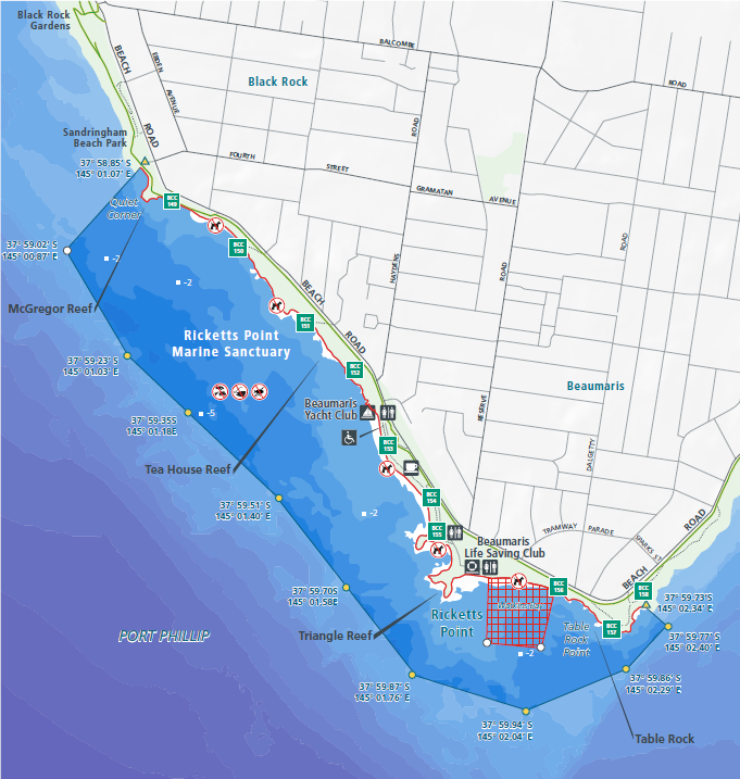 |
| Mushroom Reef Marine Sanctuary | 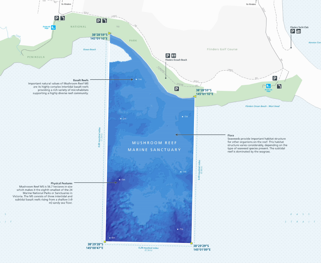 |
| Yaringa Marine National Park | 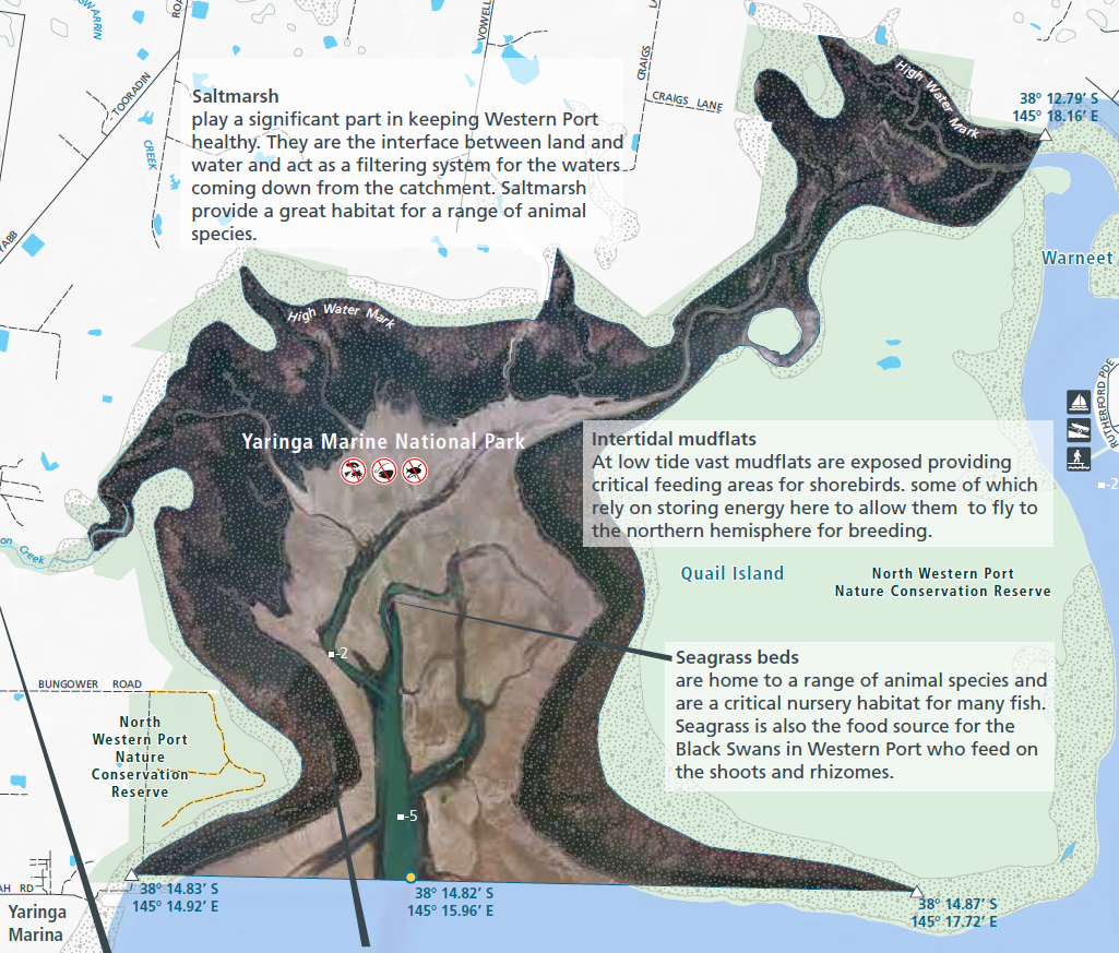 |
| French Island Marine National Park | 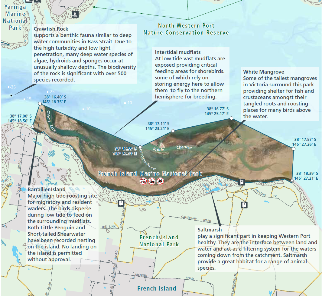 |
| Churchill Island Marine National Park | 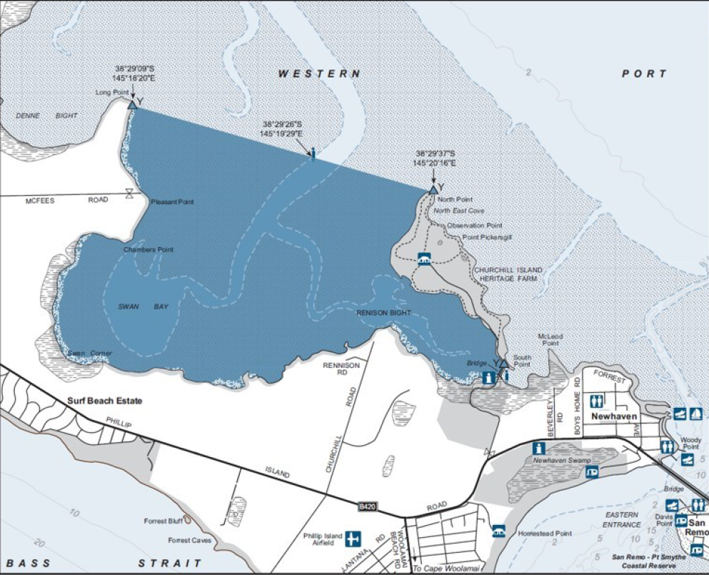 |
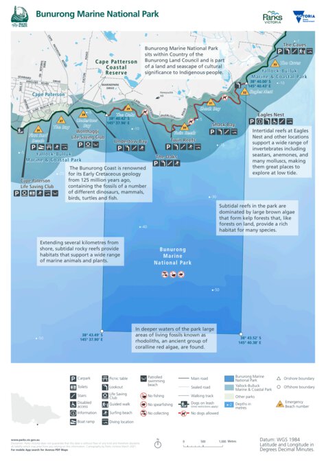
| |
| Wilsons Promontory Marine National Park | 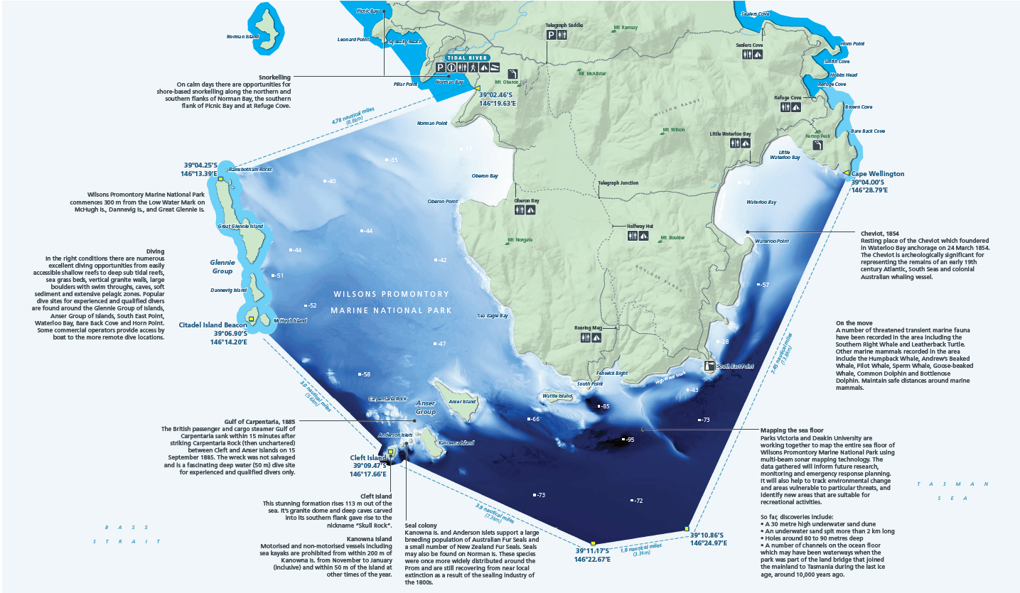 |
| Corner Inlet Marine National Park | 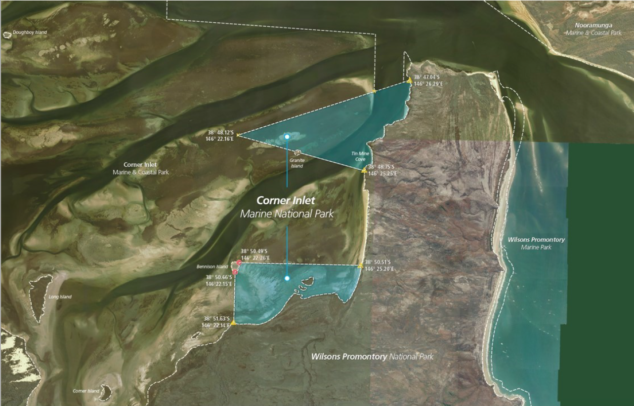 |
| Ninety Mile Beach Marine National Park | 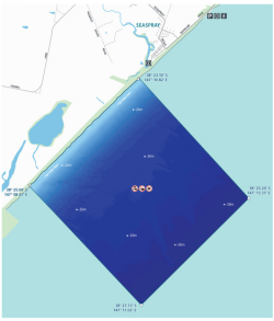 |
| Beware Reef Marine Sanctuary | 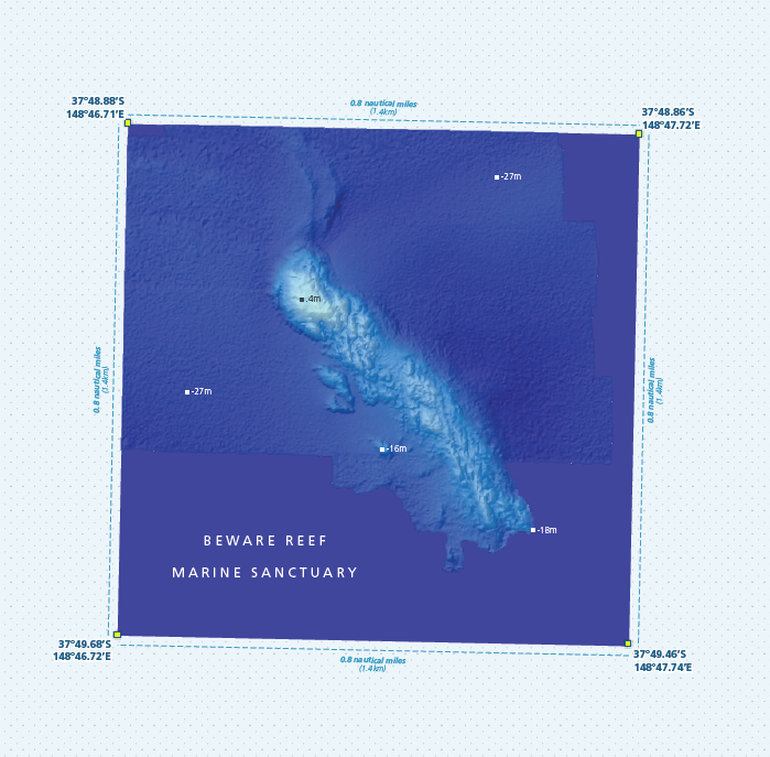 |
| Point Hicks Marine National Park | 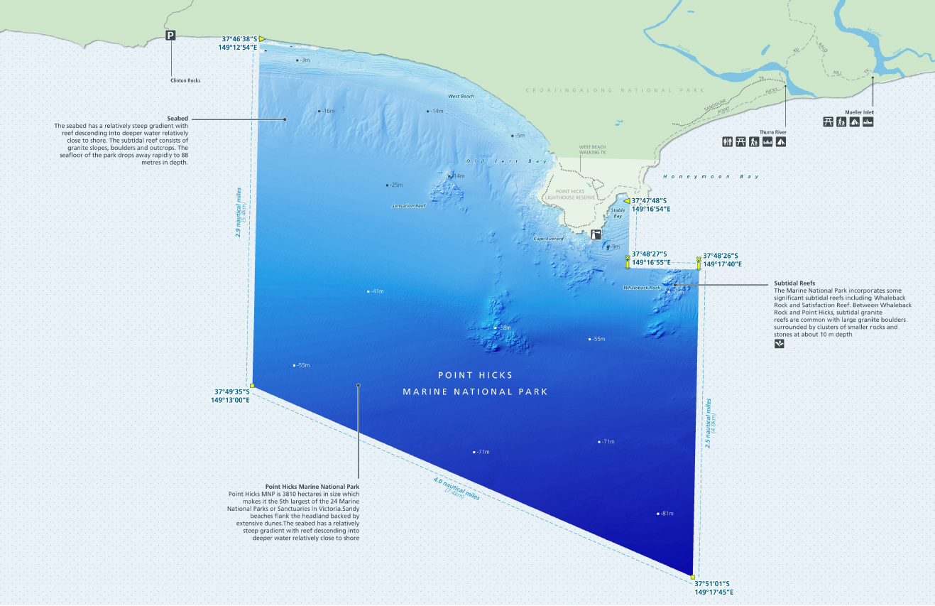 |
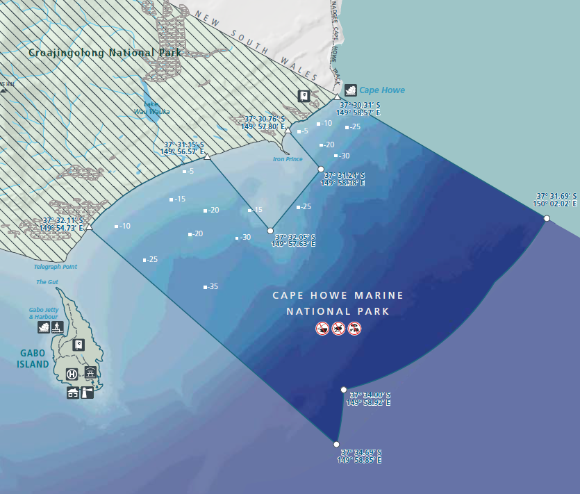 |
All images are thanks to Parks Victoria.
Click here for list of all coordinates for Victoria's marine national parks and marine sanctuaries.


